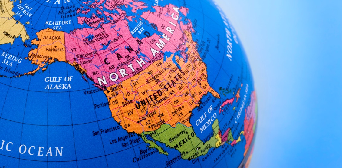
Geocoding has become one of the most important elements attached to a contact record. Linking addresses to their latitude and longitude coordinates allows you to map and locate contacts, particularly with the aid of tools such as Geographical Information Systems (GIS). This, in turn, allows you to work with your contact data spatially and geographically, for applications ranging from market targeting to compliance with privacy, lending and housing laws.
With our DOTS Address Geocode – International service, you can translate any global address to latitude and longitude coordinates. Together with specific services for the United States and Canada, we provide coverage for any contact database. In this article, we’ll examine some of the specific features that make Address Geocoding International a solution of choice for all of your geolocation needs.
Multiple precision levels
When you submit address data for geocoding, you want the most accurate data possible. More importantly, you want visibility about how accurate this information is. Address Geocode – International puts you in control by returning one of 16 precision levels that tell you how exact the latitude and longitude results are, relative to the geographic data available for this address. Here is a table describing these 16 levels.
| Level | Description |
|---|---|
| 1 | Country |
| 2 | Admin Area or cluster of first order administrative areas |
| 3 | Admin Area. Likely a first order administrative area such as a state, territory or region |
| 4 | Admin Area. Likely a second order administrative area such as a county or cluster of second order administrative areas |
| 5 | Admin Area. Likely a third order administrative area such as a barrio or district |
| 6 | Admin Area. Likely a fourth order administrative area such as a sub-district |
| 7 | Locality such as a city or municipality |
| 8 | Locality, Postal Code or Admin Area |
| 9 | Locality (such as a borough) or Postal Code |
| 10 | Locality( such as an inner district) or Postal Code |
| 11 | Locality (such as a neighborhood or zone) or Postal Code |
| 12 | Locality (such as a campus or compound) or Postal Code |
| 13 | Thoroughfare (such as a street, road, or highway) |
| 14 | Interpolated address |
| 15 | Address of a building |
| 16 | Point of interest or place of interest such as a place of business or landmark |
These levels help you understand how precise the geo-coordinates for an international address can be returned based on the data available for the address. In many cases, you can get coordinates representing the exact location of the address. In others – such as an unincorporated area or a remote region of a less developed country – these precision levels give you the visibility to know how best to interpret this data.
These levels are combined with very high success rates at matching addresses to coordinates. For addresses in the United States, for example, we deliver property-level match rate accuracy of up to 99.8%, and Canadian addresses deliver up to a 96% match rate accuracy.
Add more value to your address data applications
Address Geocode – International results include a wealth of associated location and demographic data designed to add more value to your address data applications.
In addition to latitude and longitude coordinates, results include the locality, admin area, postal code, and ISO2 and ISO3 country codes. For US addresses, results also include census tract, state and county FIPS, congress code and time zone, while Canadian address results include time zone, daylight savings (DST), area code, city, province, and city population. Finally, we also return a URL that can be used with popular mapping tools for quick and easy mapping.
Understanding reverse geocoding
Another important feature is the ability to take input latitude and longitude coordinates and match them with an address. The ReverseSearch operation of Address Geocode – International returns the address or place information for a given set of coordinates, along with additional address and location information.
This operation attempts to reverse geocode coordinates and return international addresses at the property level, often at the premise (building) level resolution for some properties, and then cascade to the next best available resolution such as the street, neighborhood, postal code, locality and so on. In these latter cases, it returns coordinates representing a coordinate point that is commonly associated with the location or centroid for the area.
Add the power of geographic data to your contacts
It’s easy to add forward or reverse geocoding to your business applications, using API interfaces that integrate directly into most popular business automation platforms. Want to test-drive these capabilities for yourself? Our website includes complete documentation, live sample outputs, and a free 500-transaction key to try these capabilities for yourself. Or contact our friendly product experts, to learn more about what geocoding capabilities can do for you.